Tornado Information from Adair County Emergency Management Director,
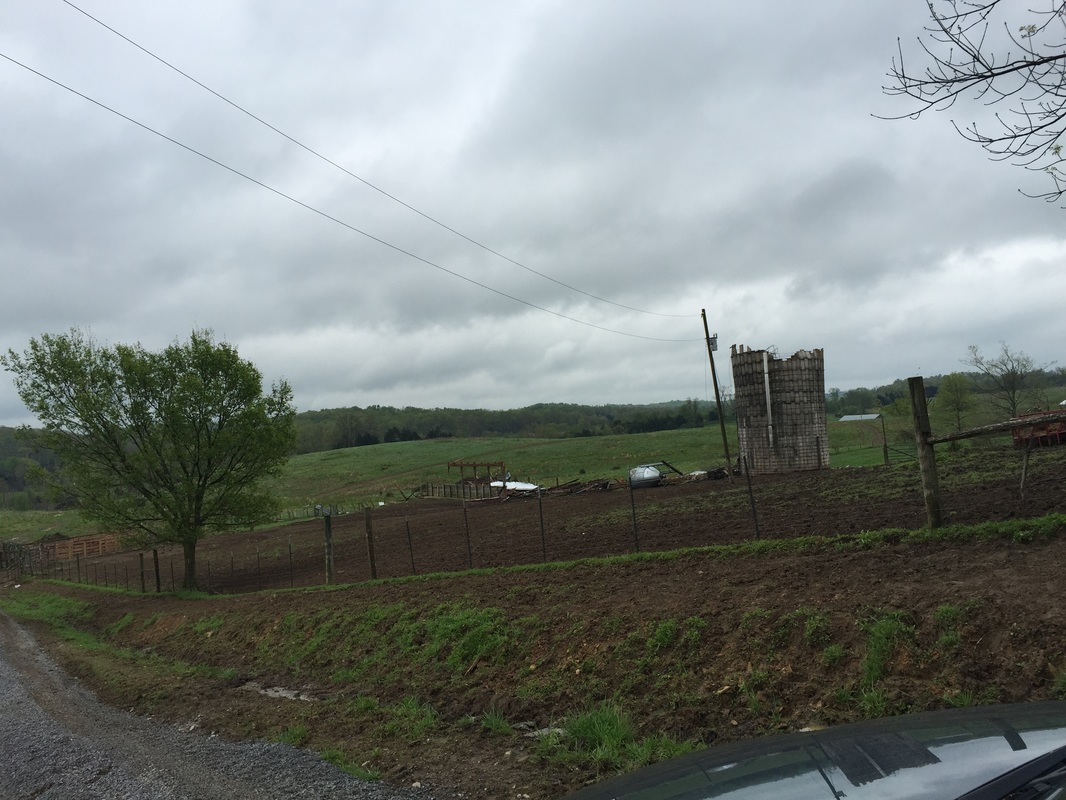
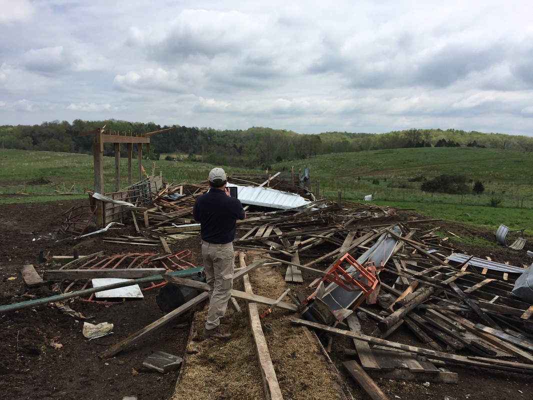
I have spent the day (Sunday April 26th) with NWS Meteorologist Joe Sullivan surveying damage from a tornado that occurred during the severe weather event Saturday night(April 25th, 2015). The path of what we now know was an EF-1 tornado originated in between the Glens Fork and Joppa communities on Dale Morrison Road. The tornado then continued east toward E Curry Road, crossing Montpelier Road heading toward and crossing the first entrance to Old Montpelier Rd. The tornado held its direction before crossing Old Montpelier Road a second time just South of Holliday Road. After the second crossing of Old Montpelier Road the tornado dissipated and took a right turn (south) before terminating near the Reynolds Creek bridge on Acree Road. The tornados path was 3.8 miles long and had a damage width of up to 150 yards. The wind speed estimated maximum was 105 to 110 MPH in damaged areas.
While three cows have been injured during this event I am thankful to report that no injuries to residents or responding personnel have been reported. The unpredictability of a severe thunderstorm should never be underestimated.
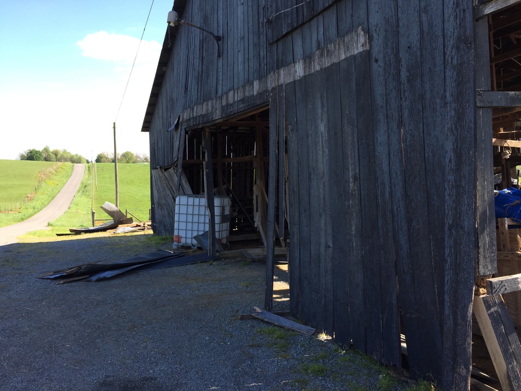
Numerous barns, cattle feeding structures, out buildings, garages and wooded areas have sustained damage ranging from minor to destroyed. Homes in the area have only reported minor damage mostly to shingle and metal roofing.
I would like to personally thank the numerous community members that have come to assist their neighbors in their time of need. I must also recognize the work of our state and local officials, along with our public and private sector response agencies.
Mike Keltner
Adair County Emergency Management Director


 RSS Feed
